clm-614715d345e7a714
descriptive
Cable cars integrated into the metro network connected Medellín's informal hillside barrios to the city

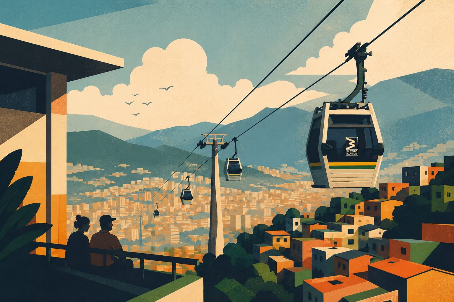
How a cable car built to reach hillside barrios no bus could climb became the best-measured case in this atlas of infrastructure arriving alongside a fall in urban violence — and why the measurement covers a package, not the gondola alone.
This overview was generated with AI from the public sources listed below and checked against them before publication. It has not had a complete human fact-check — treat it as a starting point and follow the sources.
23 sourced claims on this page, none individually verified yet — turn on “Sources in the text” to see each one.
How this atlas is made · What “last verified” means · What “source-checked” means · The full record behind this page
✎ Corrected 11 Oct 2026 5 sources added. · 2 revisions in all What changed →
Part of 1001 Smart Cities — 1,216 documented projects · 🏙️ 9 more in Medellín · 🚌 Public transport guide · 🚲 Mobility projects
In 1991, Medellín was widely called the most dangerous city on Earth, and the hillside barrios ringing it were no-go zones the formal city simply didn’t reach. Thirteen years later, its answer to that isolation was not only a police force. It was a cable car.
Medellín sits in a narrow Andean valley, and as the city grew through the 20th century, poorer arrivals settled where land was cheapest: the steep hillsides above the valley floor. By the 1990s, comunas like Santo Domingo housed hundreds of thousands of people on slopes so steep that buses couldn't reliably serve them and a trip to the city centre took more than an hour. Distance from the formal city compounded every other disadvantage:
Topography, in other words, reinforced poverty.
The turning point was political as much as technical. Mayor Sergio Fajardo, elected in 2003, built his administration around a principle his team called urbanismo social: put the city's best architecture, best public buildings and best infrastructure in its poorest neighbourhoods first, not last. In a city used to seeing investment flow toward the wealthy valley floor, that was itself a reversal worth noticing before a single cable ever moved.
The Metrocable — taken up under his predecessor, Luis Pérez, and opened in Fajardo’s first year — became the clearest expression of that principle. Rather than build a road network the terrain would never really support, the city strung aerial cable cars up the hillsides and — critically — folded them directly into the metro system's fare structure. A resident of Santo Domingo could tap once and ride cable car and train as a single trip. The infrastructure decision was unusual; the fare-integration decision is arguably the more important one, since it's what actually made the hillside a part of the city rather than a scenic add-on to it.
The numbers are the reason this project is cited constantly, not just admired. A peer-reviewed natural experiment (Cerdá et al. 2012, American Journal of Epidemiology) compared neighbourhoods served by the first Metrocable line with carefully matched control neighbourhoods between 2003 and 2008, and found:
None of that proves the cable car alone did it — Medellín was also running library parks, school investment and community programmes in the same neighbourhoods at the same time, and the city's overall violence was falling for several reasons at once — but the pattern (violence falling faster specifically where the infrastructure landed) is exactly the kind of evidence urban policy rarely gets to see this cleanly.
The honest caveat: that study covers the first line and its neighbourhoods, not the whole system. "Build a cable car" was never actually the whole intervention — the surrounding social investment came with it — and copying the hardware without that context is copying the wrong part of the story.
Aerial cable transit existed before Medellín — ski resorts and a handful of tourist systems had run gondolas for decades. What Medellín did differently was treat a cable car as core public transit for the poorest residents of a major city, at metro fare, as a deliberate anti-violence and anti-poverty tool rather than a novelty. That combination is why it endures: “cable car as social infrastructure” has since been tried in Rio, Caracas and beyond.
The lesson this atlas draws is narrower than the one usually told: what was measured is a package, and a city that copies only the hardware copies the part the evidence cannot isolate. The decision that mattered was made before any engineering — who gets reached first.
Between 2003 and 2008, the homicide rate fell 66% more in neighbourhoods served by the first Metrocable line than in comparable control neighbourhoods, and resident-reported violence dropped 75% more (Cerdá et al. 2012). A later CAF working paper, using a spatial difference-in-differences design, found homicides in the neighbourhoods around the line fell about 49% more than crime fell across the city between 2004 and 2012 (Canavire-Bacarreza et al. 2016).
Two clocks, kept apart: when this entry’s sources were published, and what has happened to its record in the atlas. Documented span: since 2004. 6 of 9 sources carry a publication date, from October 2011 to 13 January 2022.
Nine sources carry this entry, and one of them still does most of the work: Cerdá et al. (2012) in the American Journal of Epidemiology, a matched natural experiment covering 2003 to 2008. The operator supplies the system facts; Dávila and Daste’s UCL paper and a Rapid Transition Alliance case study carry the policy history, including the point that the first line was taken up under Mayor Luis Pérez and opened under Fajardo. A 2016 CAF working paper, which is not peer-reviewed, extends a different design to 2012. Dávila and Daste put the first line’s cost at about US$24 million at 2003 exchange rates, 55 percent of it municipal. A page reporting a 66 percent differential still rests on a single peer-reviewed study, and a reader should weigh it accordingly. Three things the record cannot answer: how much of the measured effect belongs to the cable car rather than to the library parks, schools, police patrols and community programmes that arrived alongside it, which the study was not designed to separate; whether later lines produced anything similar, as the study covers the first only; and whether the effect held after 2008 in a peer-reviewed follow-up. The 1991 homicide figure is widely repeated and is used as context, not as a measured baseline for the study. Anyone who can supply a primary document for these improves this page — the “Report an error” link at the foot of this page is how.
Evidence file · public beta 26 addressable claims, 9 source dossiers, one permanent baseline. 23 of them are marked in the text above; the other 3 belong to a passage this page does not print, so they can be read here but not clicked in the article. The file is unreviewed — an AI-assisted structural migration, not a human or expert endorsement. Every revision keeps a permanent copy under revision history.
The text below is copied verbatim from the published record. Each claim names the source dossiers that carry it; caveats stay attached to the claim they qualify.
clm-614715d345e7a714
descriptive
Cable cars integrated into the metro network connected Medellín's informal hillside barrios to the city
clm-c7fe086ed6a4d443
descriptive
the mobility backbone of an urban transformation that other cities in Colombia and Latin America set out to copy
clm-a4755f286c10ceb1
descriptive
Six Metrocable lines operate today
clm-49d2804f8edf6d9c
quantitative
Between 2003 and 2008, the homicide rate fell 66% more in neighbourhoods served by the first Metrocable line than in comparable control neighbourhoods, and resident-reported violence dropped 75% more
clm-2f4daff51d1bc27b
quantitative
A later CAF working paper, using a spatial difference-in-differences design, found homicides in the neighbourhoods around the line fell about 49% more than crime fell across the city between 2004 and 2012
clm-d136219446ccb88d
descriptive
The best-measured effect of Medellín's first cable car belongs to a package: the gondola arrived with library parks, school buildings, street lighting and more police patrols in the same neighbourhoods
clm-028b39a7b8051ae2
descriptive
so a city that copies only the hardware copies the part the evidence cannot isolate
clm-d683481bef5997a0
descriptive
housed hundreds of thousands of people on slopes so steep that buses couldn't reliably serve them
clm-43ca095fbcc5117f
quantitative
Mayor Sergio Fajardo, elected in 2003, built his administration around a principle his team called
clm-5c0b3c00be23910c
descriptive
the city strung aerial cable cars up the hillsides and
clm-459b6b5b93cc7e43
descriptive
A resident of Santo Domingo could tap once and ride cable car and train as a single trip
clm-bfec67da60d41696
quantitative
compared neighbourhoods served by the first Metrocable line with carefully matched control neighbourhoods between 2003 and 2008
clm-b4ba5fa9f042d57f
descriptive
Medellín was also running library parks, school investment and community programmes in the same neighbourhoods at the same time
clm-d2025179b6f73d52
descriptive
that study covers the first line and its neighbourhoods, not the whole system
clm-7eebb8752207dad9
quantitative
In 1991, Medellín was widely called the most dangerous city on Earth
clm-6e227b83570bb7bf
descriptive
the hillside barrios ringing it were no-go zones the formal city simply didn’t reach
clm-06aee534e6c93b99
descriptive
Medellín sits in a narrow Andean valley
clm-ab9e9413e5d72662
descriptive
poorer arrivals settled where land was cheapest: the steep hillsides above the valley floor
clm-3df60aaf61ba9c60
descriptive
In a city used to seeing investment flow toward the wealthy valley floor
clm-73545f479b54e911
descriptive
put the city's best architecture, best public buildings and best infrastructure in its poorest neighbourhoods first, not last
clm-f15f3e9bd59f450a
quantitative
homicide rate fell 66% more in the neighbourhoods the cable car reached than in the matched controls
clm-f0fd446da44c52d1
quantitative
residents there reported a 75% larger drop in violence than their control-area counterparts
clm-7ee256582ed96df7
descriptive
the city's overall violence was falling for several reasons at once
clm-a946a4cf96632922
descriptive
Aerial cable transit existed before Medellín — ski resorts and a handful of tourist systems had run gondolas for decades
clm-d1f2318e0591133e
descriptive
What Medellín did differently was treat a cable car as core public transit for the poorest residents of a major city, at metro fare
clm-4c64d71143c2d41a
descriptive
Rio, Caracas and beyond
This layer records what is known about each source, what is still missing, and the exact snapshot this page is rendering. A missing date, archive or hash stays visible as missing.
Awaiting operator and domain-expert review; publication of this revision implies neither.
sha256:85cc98d7aea188349b5b62926a3585b5121ea0bac01a1d13e141f2216d7f18d3
src-87a7ed2a48dd7ce1Official site of Metro de Medellín, which runs the integrated system of trains, aerial cable lines, tram and buses; in 2026 its line index lists six cable lines (H, J, K, L, M and P).
src-731c5cef368dd4d3Peer-reviewed natural experiment: 25 neighbourhoods served by the first Metrocable line and 23 matched control neighbourhoods, assessed in 2003 and 2008; the decline in the homicide rate was 66% greater in the intervention neighbourhoods (rate ratio 0.33) and resident reports of violence decreased 75% more (odds ratio 0.25). Published online 2 April 2012, in print 15 May 2012.
src-6e69eda266a28954Full text of the same study: the municipal government accompanied the gondola with lighting, pedestrian bridges and paths, library parks, buildings for schools, recreational and microenterprise centres, more police patrols and a family police station; the study covers the first line (K) in city districts 1 and 2; the authors say their design was not equipped to explain the mechanisms behind the decline and that the intervention is difficult to generalise.
src-68489bbbf0814224Streetsblog Chicago's summary of the Cerdá study: Metrocable was part of a 1999 territorial plan, the first line opened in 2004 to Santo Domingo, and the gondola came with library parks, school buildings, lighting, more police patrols and a family police station. It gives the follow-up year as 2012 where the study says 2008.
src-e20cdd689d61cf49Rapid Transition Alliance case study: a homicide rate of 381 per 100,000 in 1991 (375 in a later table); the city sits in an Andean valley with the poorest barrios on the steep slopes; Sergio Fajardo was elected in 2003 and named his policies 'social urbanism', directing investment by Human Development Index; his predecessor Luis Pérez introduced the first cable car; average travel time to the centre fell from over an hour to 15 minutes.
src-99f4cf305ba6c4acOperator's page for Line K: aerial cable connecting Santo Domingo with Acevedo metro station, 2 km, four stations, 93 ten-person cabins, 3,000 passengers per hour per direction, commercial operation from 7 August 2004.
src-576bccbb69b5f9e1Operator news on Line P's fifth anniversary: Line P began operating on 10 June 2021 as the city's sixth aerial cable line, has carried 30 million passengers and averages more than 40,000 riders on a weekday, second only to Line K; a cable line to San Antonio de Prado is planned.
src-f5ecbb4bcb6db68cDávila and Daste, UCL Development Planning Unit, paper for the NAERUS conference of October 2011 (DFID-funded research): Line K traverses comunas 1 and 2 (230,000 people in 2005), where steep, often unsurfaced streets were poorly served by buses; the cable car was taken up under Mayor Luis Pérez (2001-2003) and opened under his successor Sergio Fajardo; the first line cost about US$24 million at 2003 exchange rates, 55% paid by the municipality and 45% by Metro de Medellín; riders pay a single fare for cable car and metro; other cities such as Rio de Janeiro and Caracas followed; Line J (2008) had not reached full capacity, which challenged the belief that the cable cars alone would raise opportunities.
src-3cb0ad0c0e5a9495CAF Working Paper 2016/15 (not peer-reviewed): a spatial difference-in-differences analysis finds homicides in the neighbourhoods treated by the Metrocable fell about 41% more than the general crime reduction in the city between 2004 and 2006, and 49% more between 2004 and 2012; it names lower travel costs and a higher probability of apprehension around policed stations as mechanisms.
1001 Smart Cities (2026). “Metrocable & Social Urbanism” — Medellín, Colombia. The Smart City Atlas. https://1001smartcities.org/projects/medellin-metrocable/ (last verified 2026-10-11). Data: CC BY 4.0.
The underlying data is free to reuse with attribution — see the open data page.